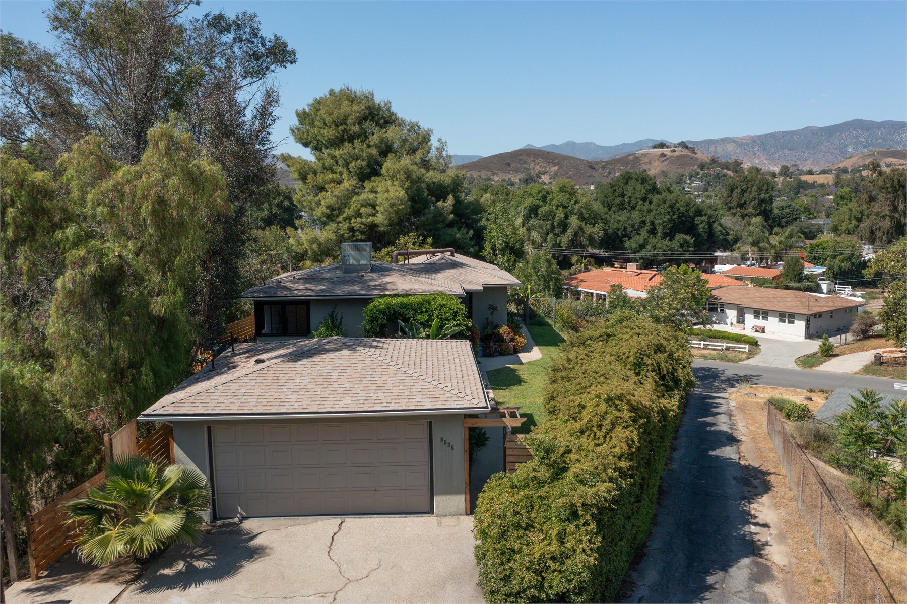
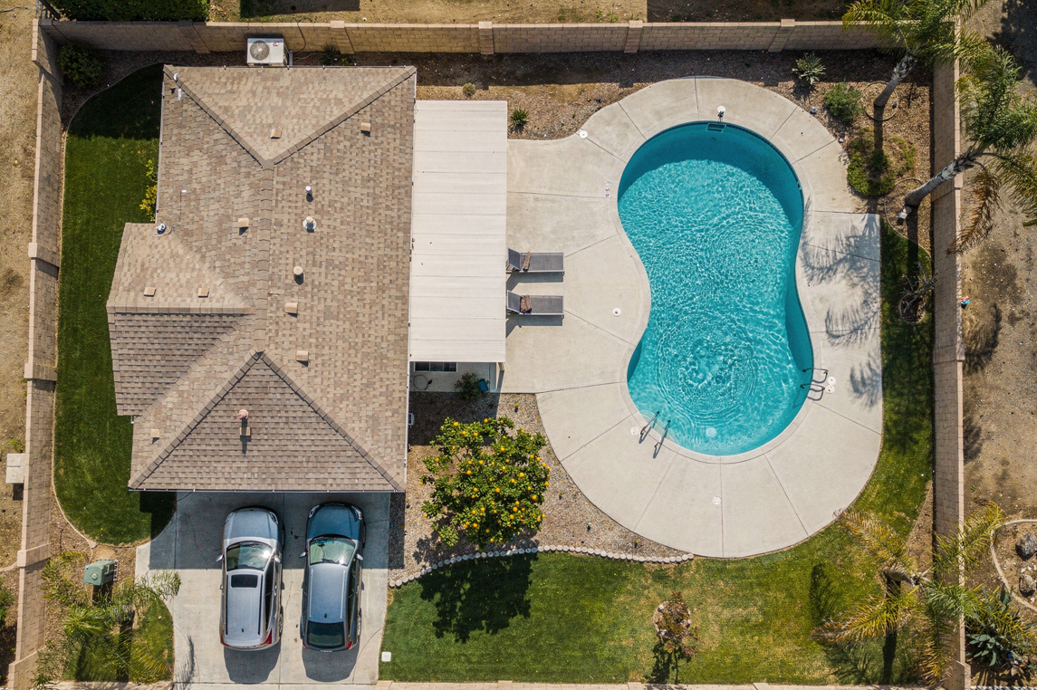
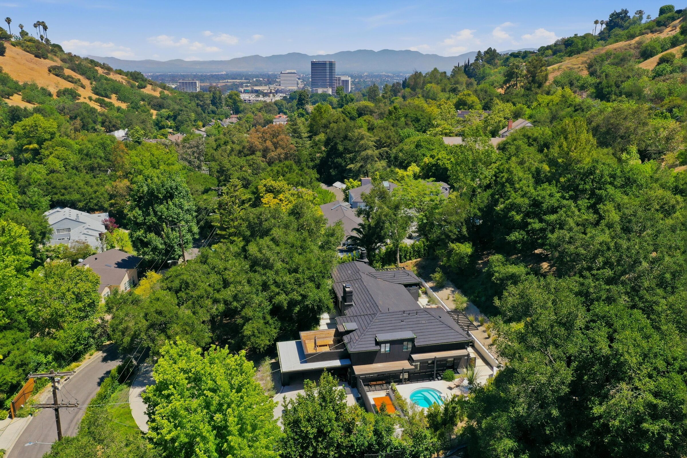
Drone Photos That Explain The Property From Above
Drone coverage is not just a dramatic angle. It gives buyers, tenants, guests, planners, and investors the missing context around the asset: lot shape, approach, parking, outdoor amenities, surrounding streets, skyline, and nearby demand drivers.
Door3D plans each flight around a useful shot path, checks airspace and weather before launch, then delivers edited JPGs for MLS, web, decks, print, and social. Video projects add flyovers, reveals, pull-backs, orbit passes, and approach clips edited into a clean MP4.
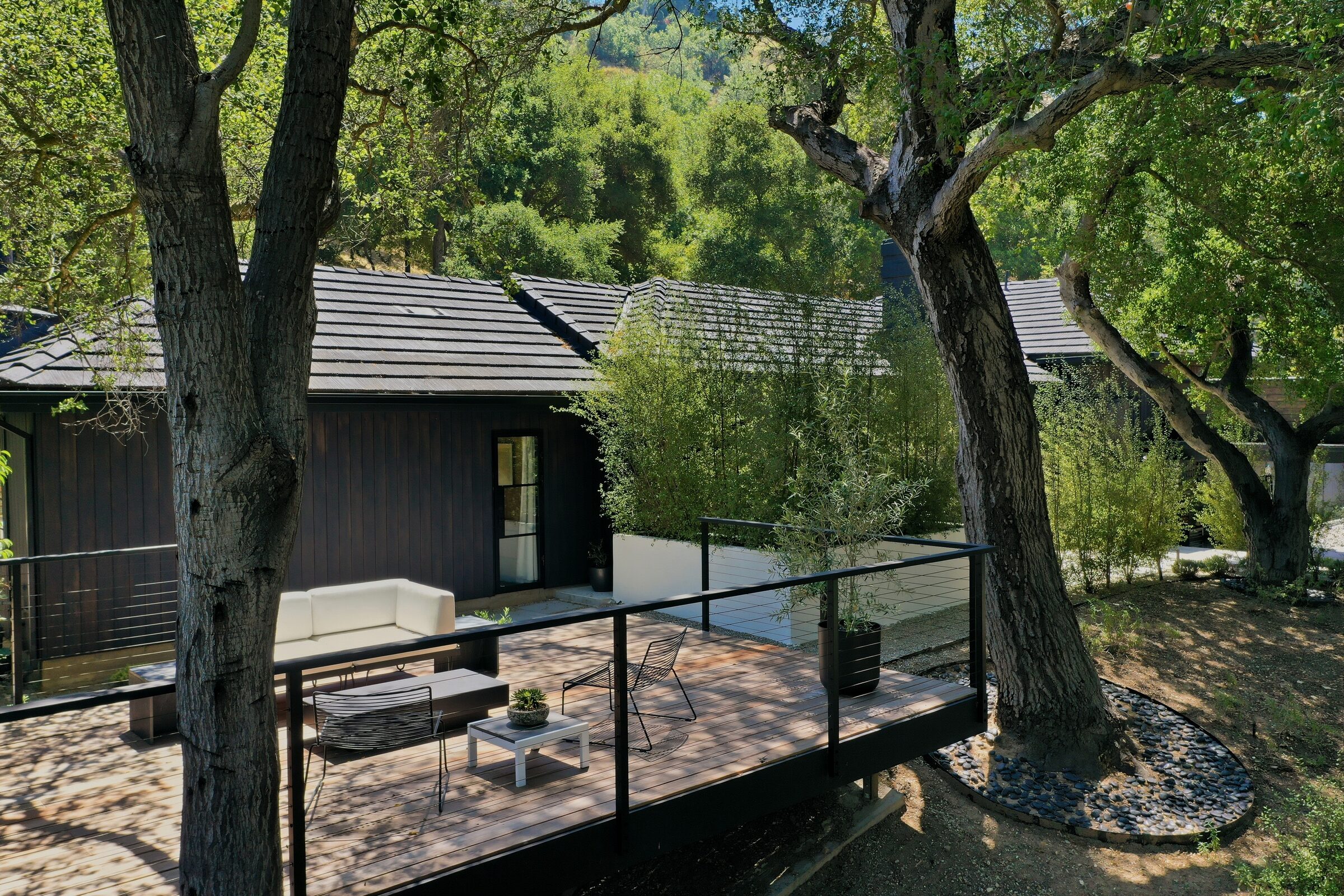
Most shoots pair drone photos with HDR photos, Matterport, Zillow 3D Home, floor plans, twilight photos, or indoor flythroughs so the property launches as one polished visual package.


Quick answers before the drone goes up.
Drone coverage is simple once the property, airspace, and deliverables are clear. These answers cover photos, boundary outlines, 360 context, video, timing, and prep.
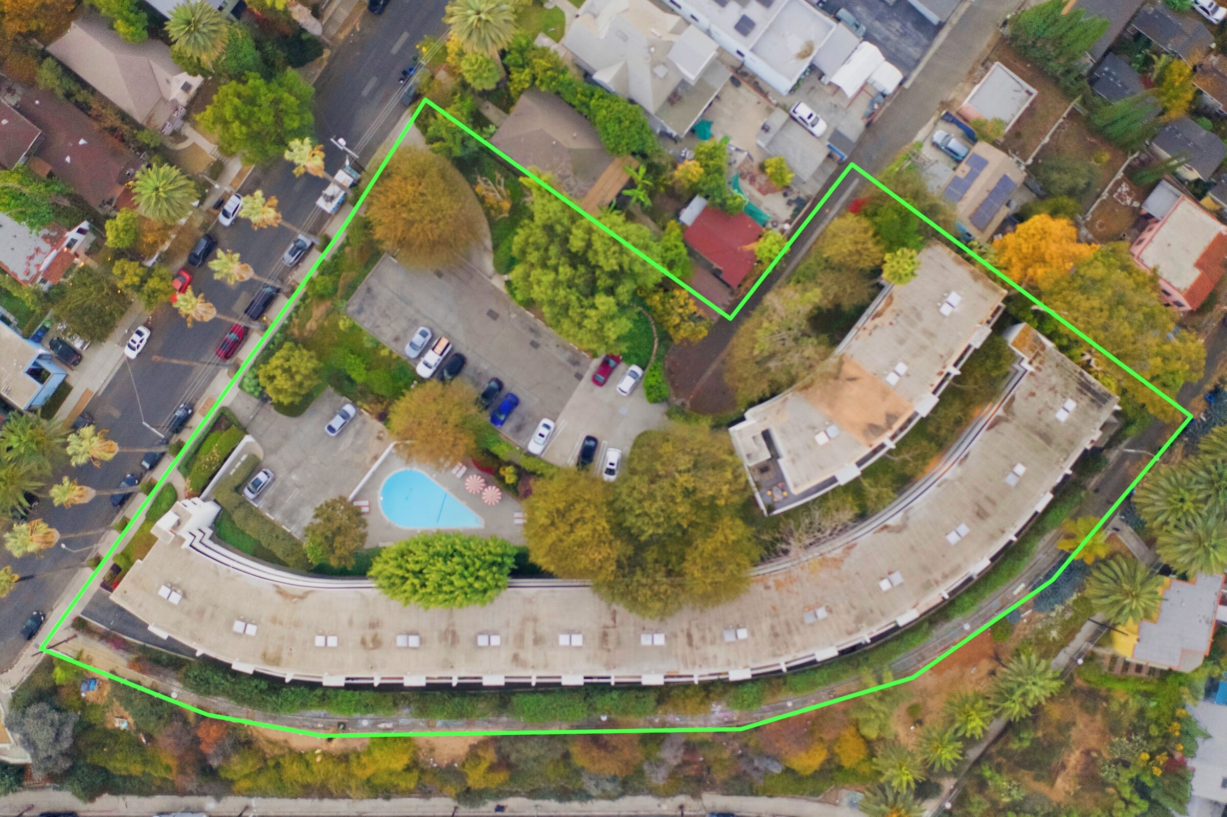
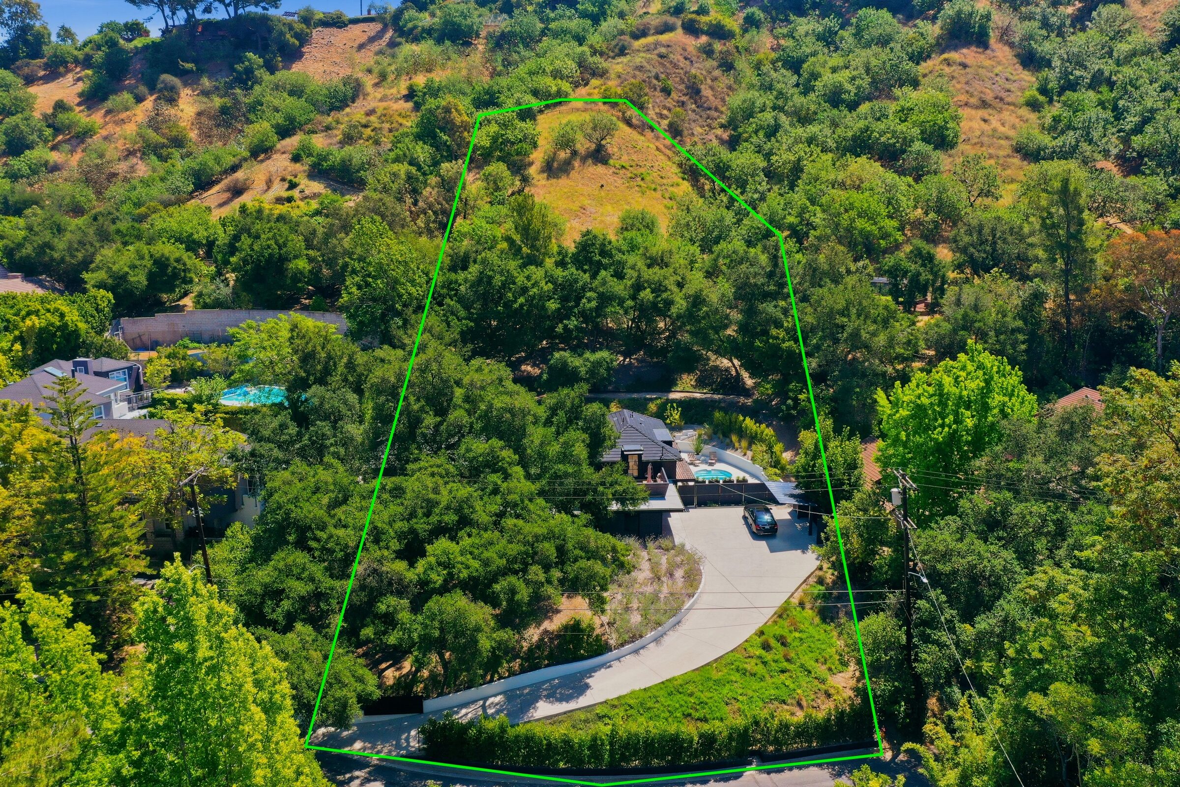
Yes. Eligible drone photo coverage includes a property boundary outline and a drone 360 photo at no extra cost, so the listing can show lot shape, access, surrounding context, and the setting around the property.
Usually, yes. Photos, boundary coverage, 360 context, and video clips can often be captured during the same appointment, depending on property size, airspace, weather, and the shot list.
Drone photos help when location, lot shape, views, parking, roofline, outdoor amenities, approach, or surrounding demand drivers matter. It works for residential listings, commercial sites, hospitality spaces, event venues, and larger land or hillside properties.
Weather, wind, restricted airspace, temporary flight restrictions, low visibility, unsafe obstacles, or missing access details can affect the flight plan. Door3D checks the basics before launch and will flag anything that needs timing or scope adjustments.
Edited drone photos are typically delivered within 48 business hours. Drone video edits take longer because clips are selected, cut, color-graded, paced, and exported as a web-ready MP4 for launch.