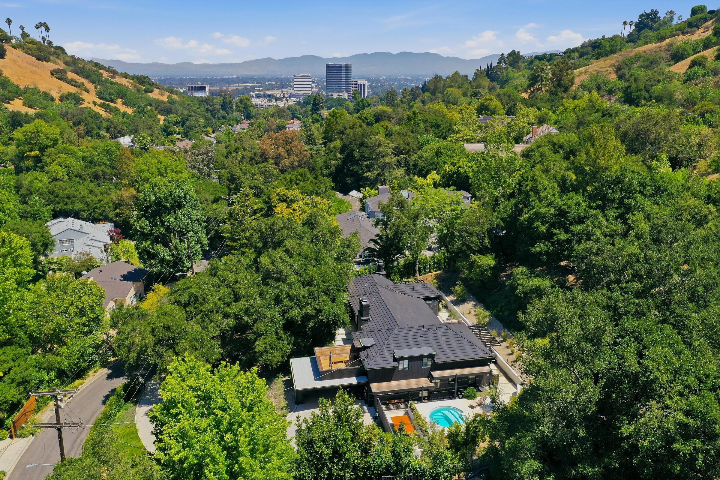
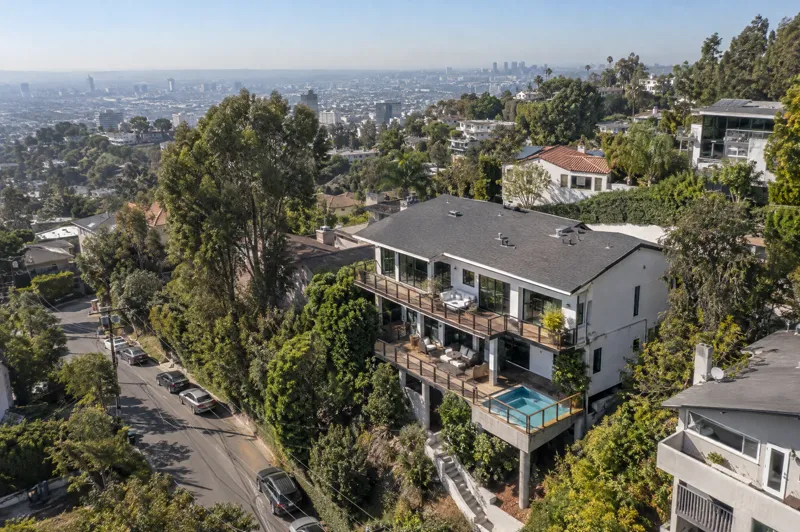
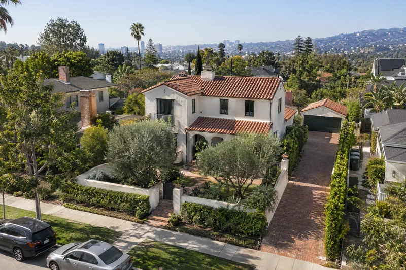
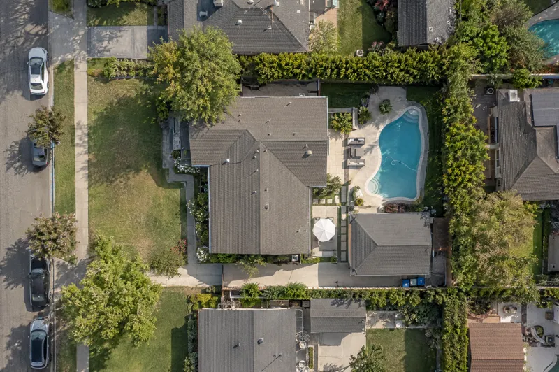
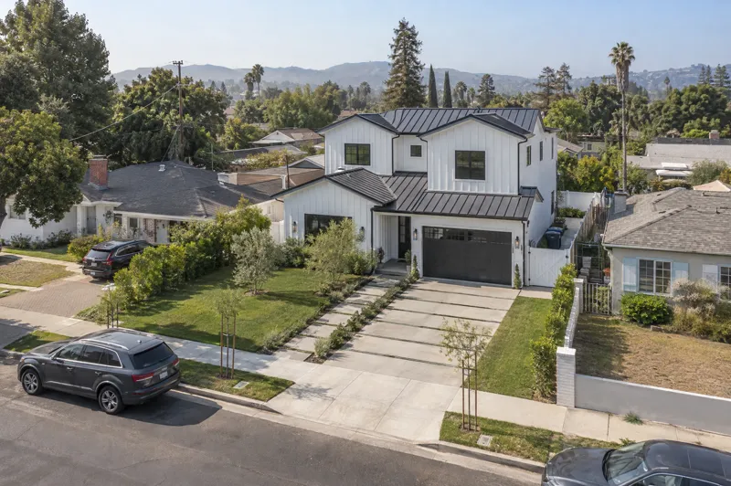
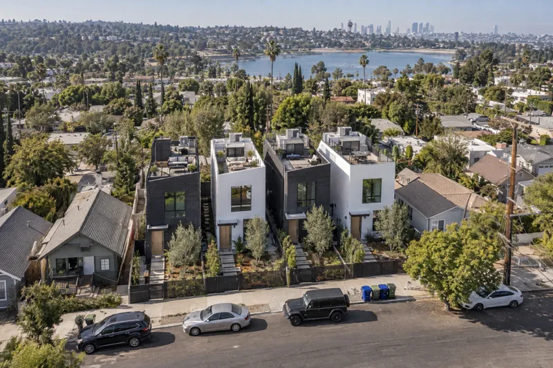
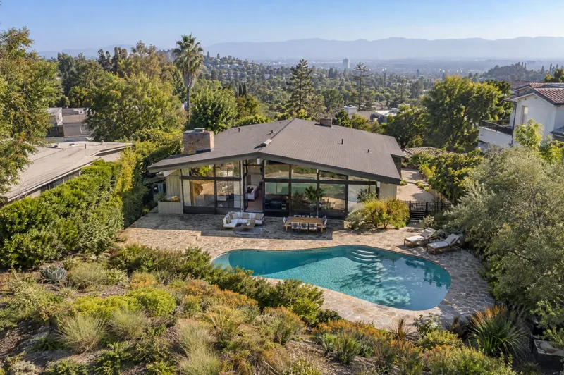
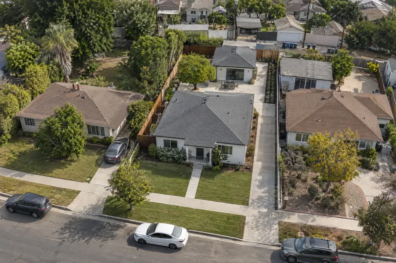
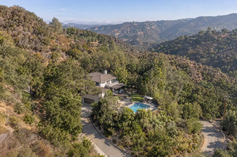
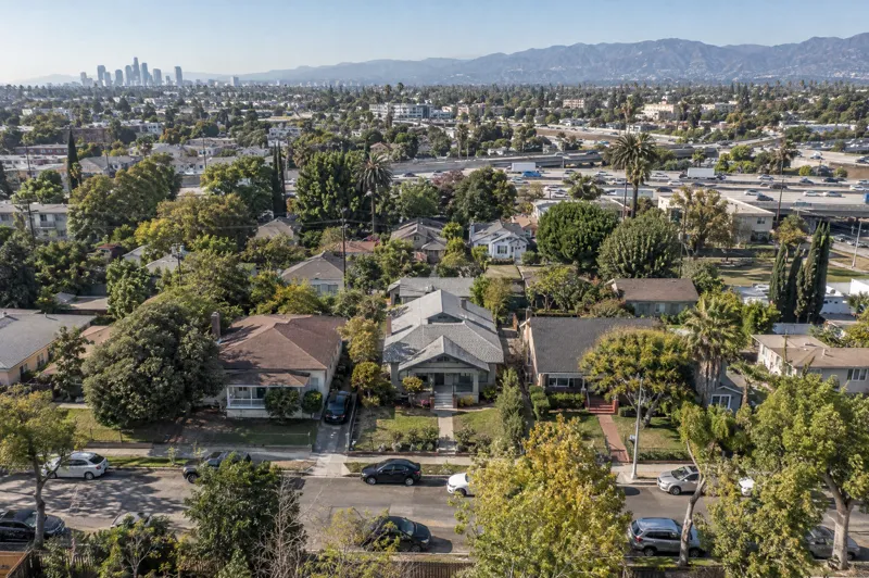
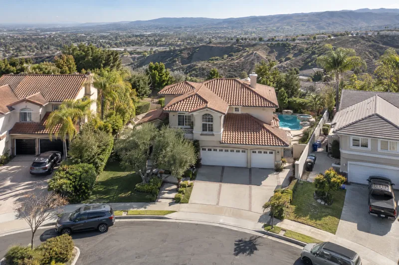
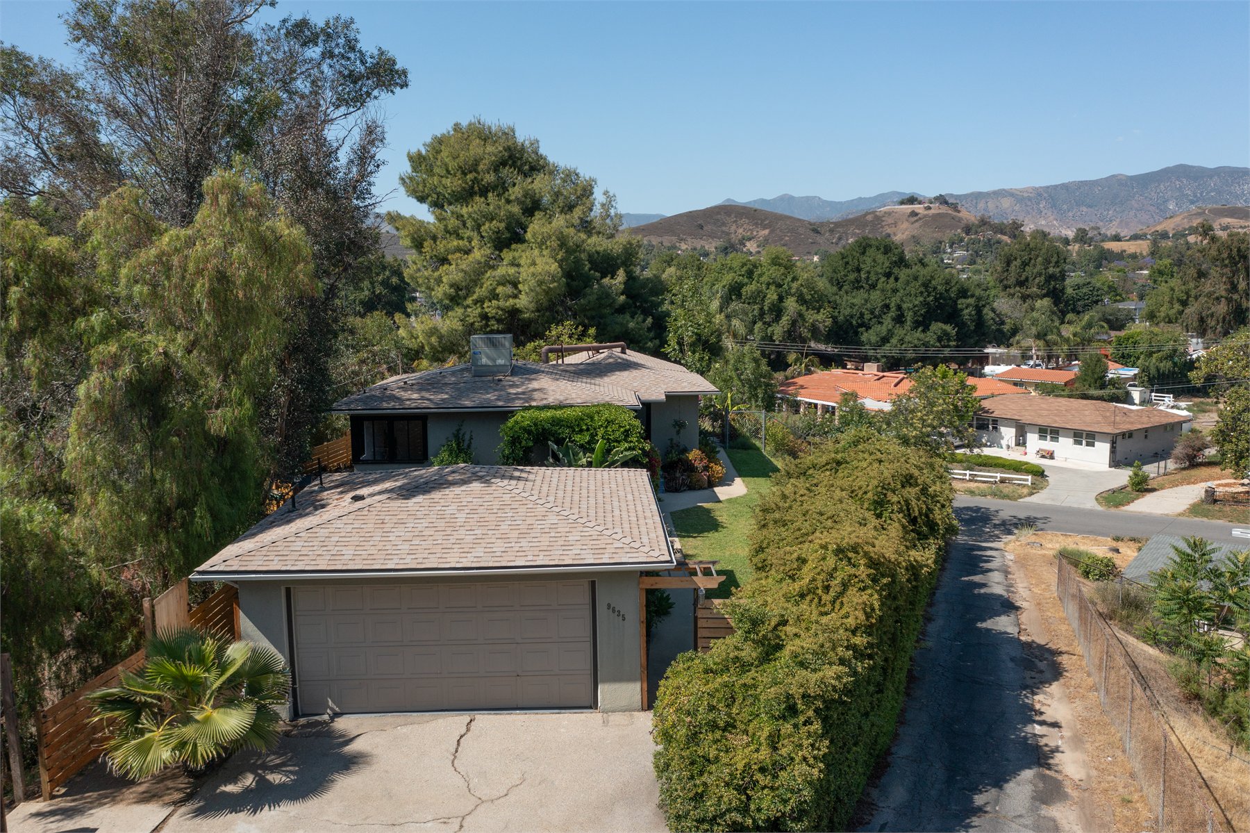
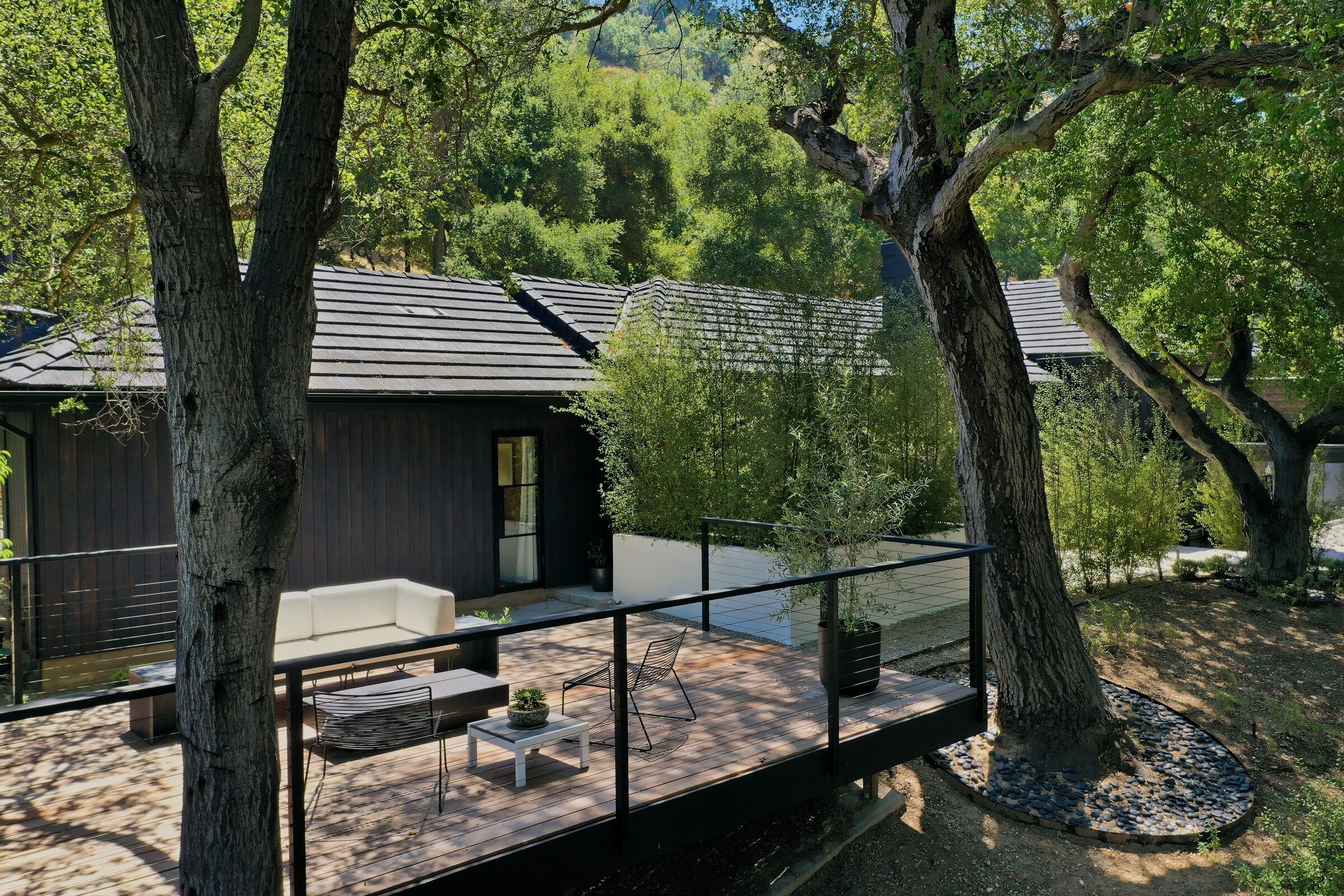
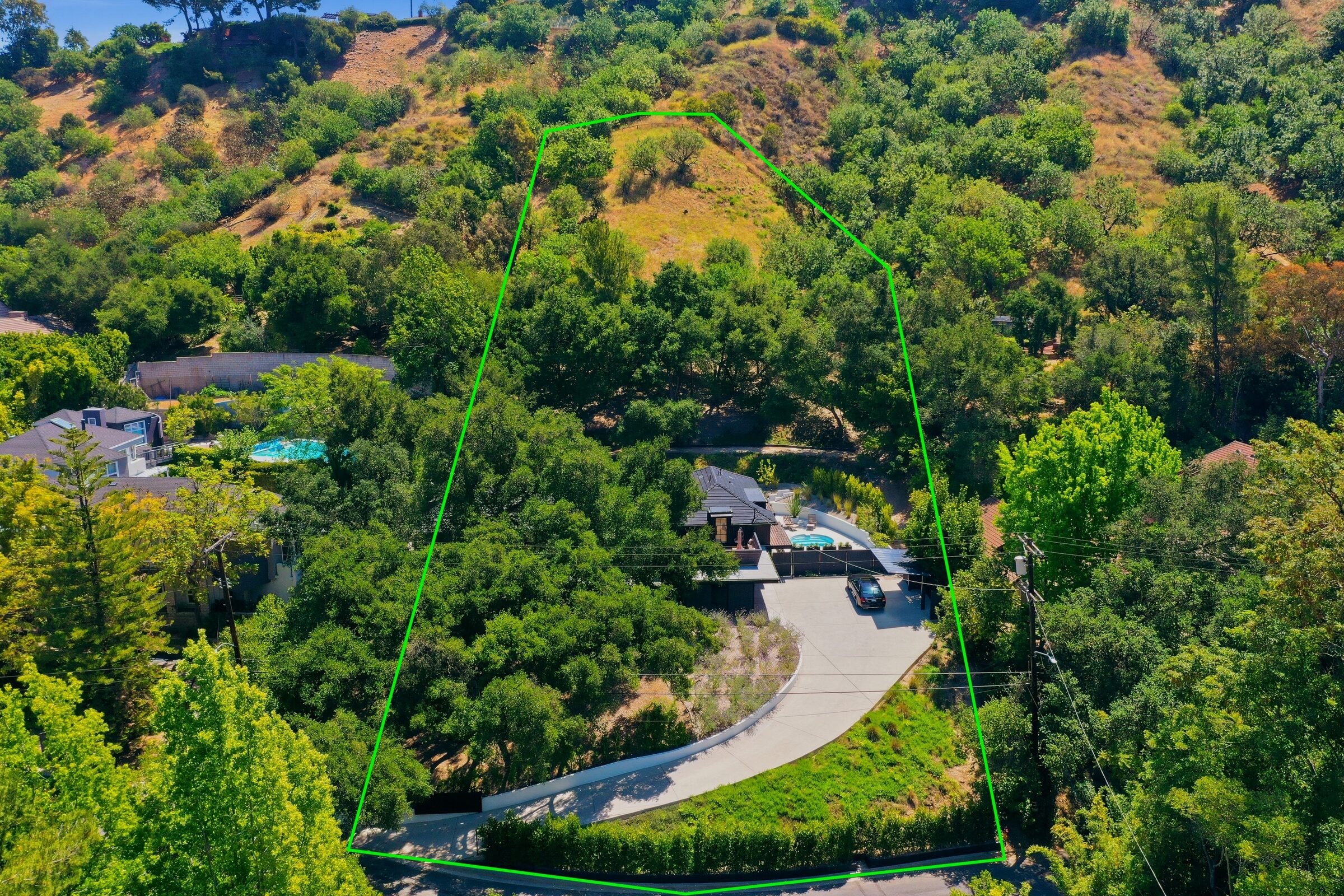
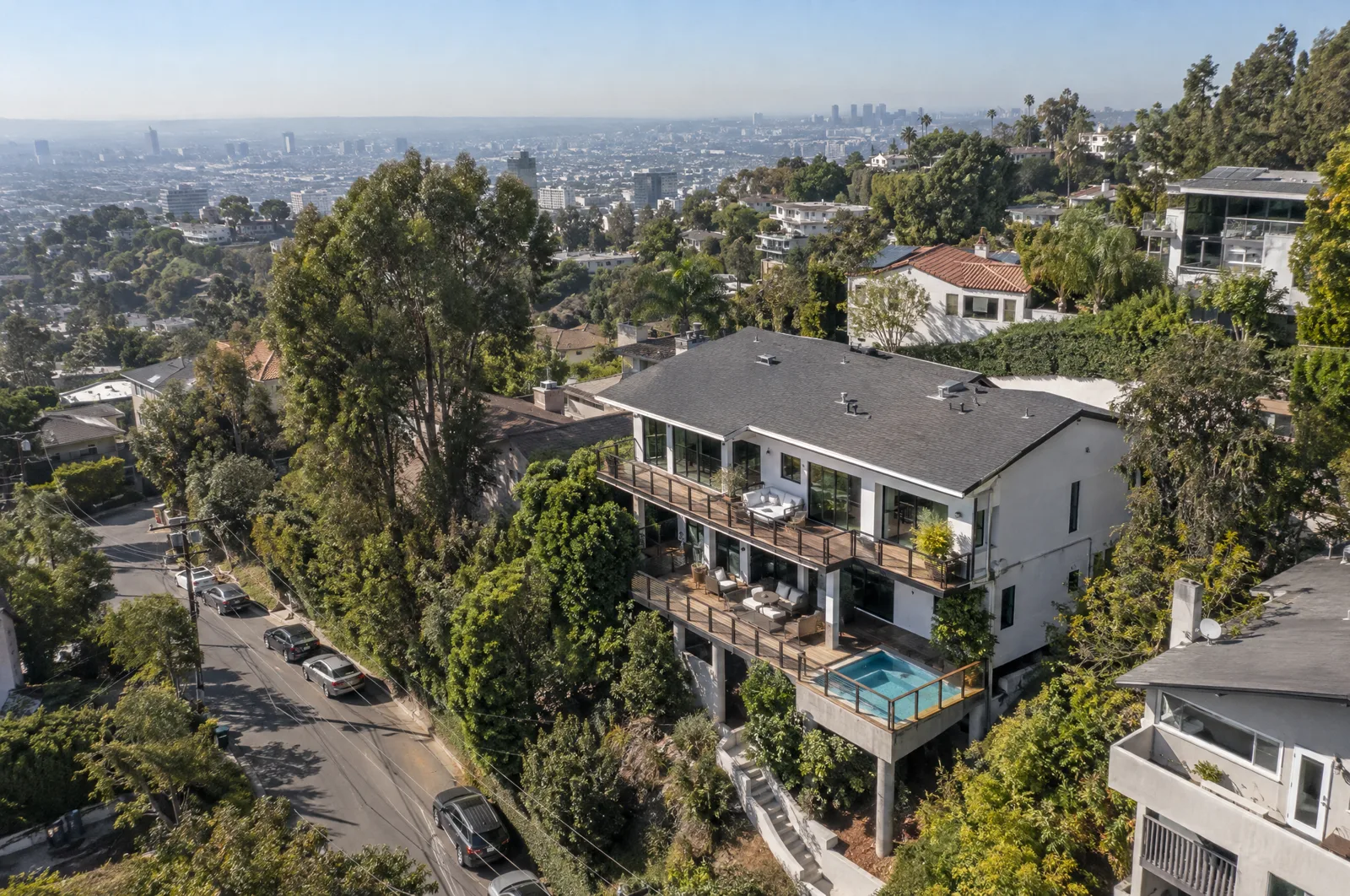
Drone Photos That Explain The Property From Above


Next step
Send the space once. We handle the rest.
Tell us three things and we come back with the right media mix, real availability, and a clear price. No back and forth.
- The addressProperty type and rough size.
- What you needPhotos, drone, 3D tour, floor plan, or the full stack.
- Your launch dateAccess window and how soon it needs to go live.
- Answers within 24 hours
- A shoot date that fits your launch
- Edited files in 48 business hours
- 48hr delivery24 hour rush on request
- No depositPay when files are delivered
- FAA Part 107Licensed and fully insured
- All of LATravel included within 30 miles
Common Questions
Quick answers before the drone goes up.
Drone coverage is simple once the property, airspace, and deliverables are clear. These answers cover photos, boundary outlines, 360 context, video, timing, and prep.
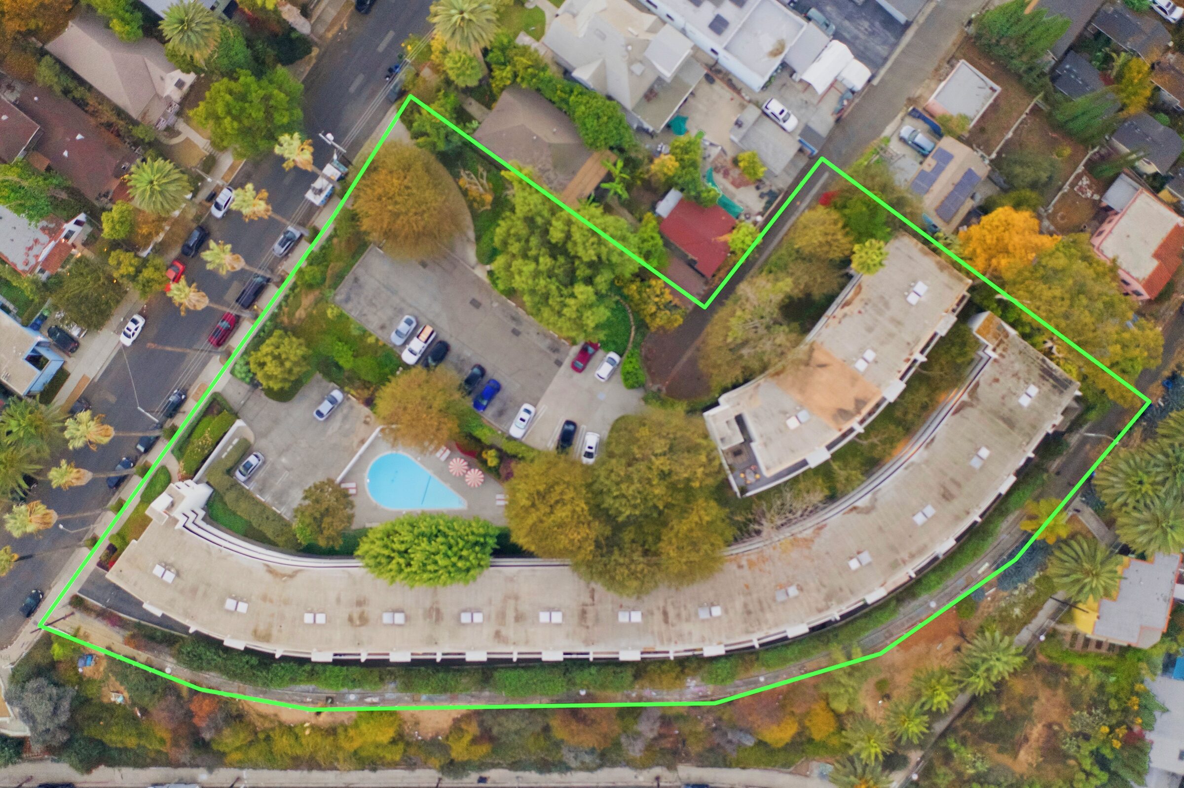
Yes. Eligible drone photo coverage includes a property boundary outline and a drone 360 photo at no extra cost, so the listing can show lot shape, access, surrounding context, and the setting around the property.
Usually, yes. Photos, boundary coverage, 360 context, and video clips can often be captured during the same appointment, depending on property size, airspace, weather, and the shot list.
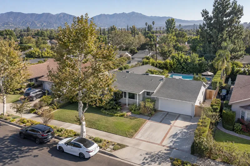
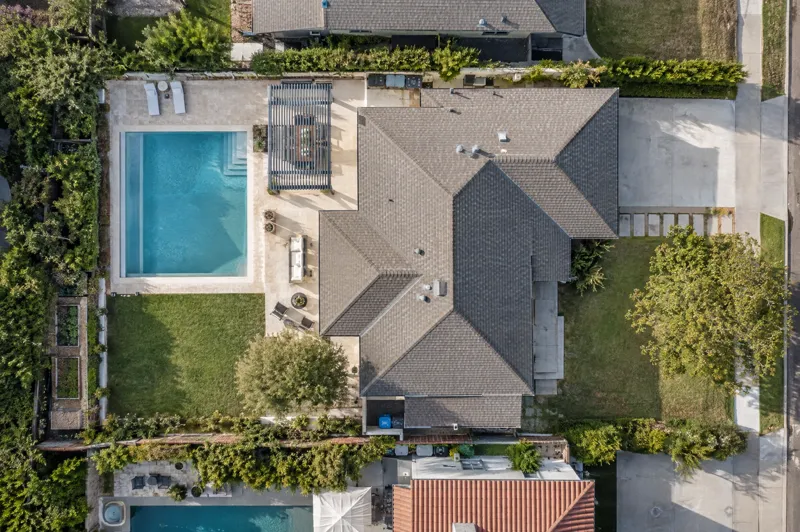
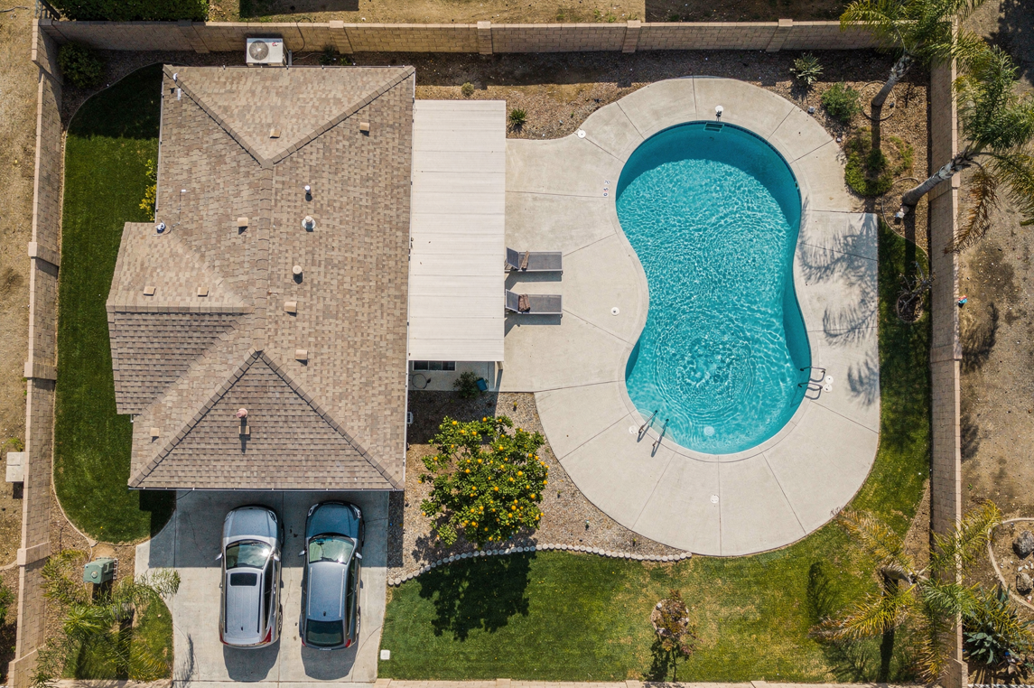
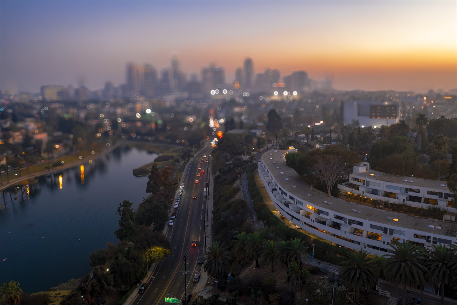
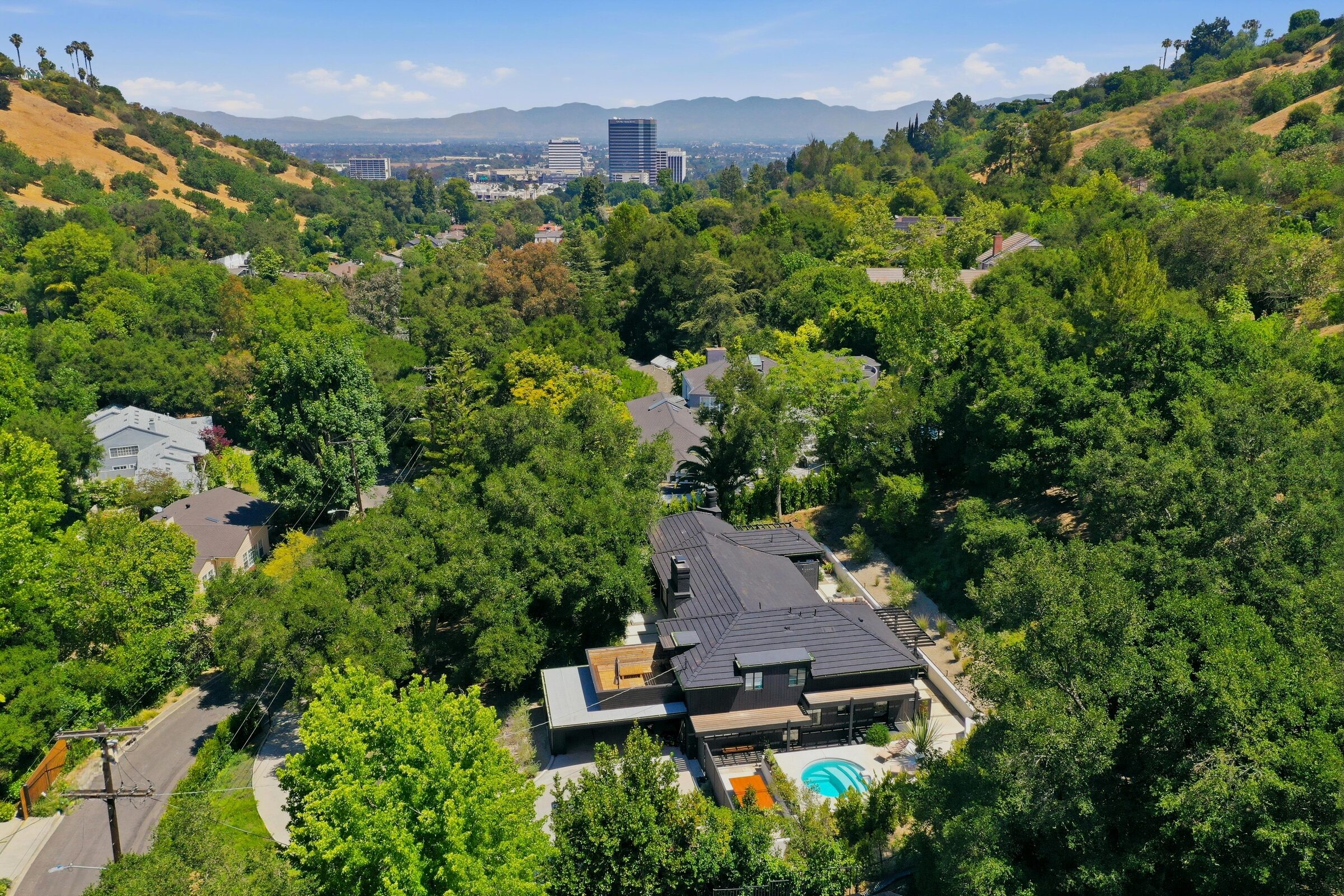
Drone photos help when location, lot shape, views, parking, roofline, outdoor amenities, approach, or the surrounding neighborhood matter. It works especially well for listings with pools, views, larger lots, or hillside settings.
Weather, wind, restricted airspace, temporary flight restrictions, low visibility, unsafe obstacles, or missing access details can affect the flight plan. Door3D checks the basics before launch and will flag anything that needs timing or scope adjustments.
Edited drone photos are typically delivered within 48 business hours. Drone video edits take longer because clips are selected, cut, color-graded, paced, and exported as a web-ready MP4 for launch.